
We have been wanting to hike on the Pacific Crest Trail (PCT) for a long time. The PCT runs from the Mexico border through SoCal but only intersects rural freeways in our area in a couple of places. This entry point is about 25 miles south of Mt San Jacinto.

We parked our car in a small dirt parking lot about a mile from the intersection of Hwy 371 & 74. After getting our packs on and grabbing our poles we headed up the trail to this marker – glad to see we were in the right place.

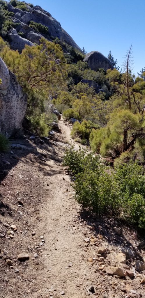
The trail was dirt and sand at times but in amazing condition as you can see below.
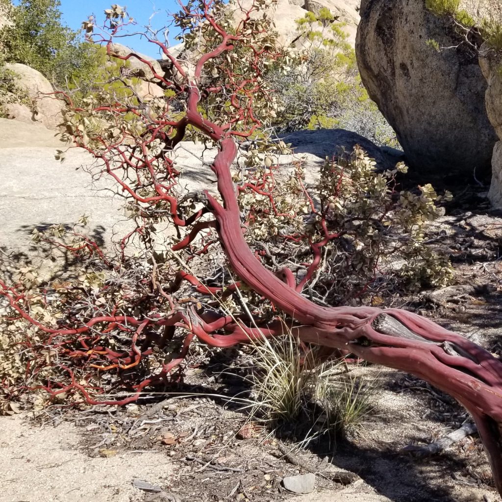
The vegetation along the trail was really varied as you can see from this red tree limb we saw in a clearing by some rocks.
On of the tree’s also had these huge, gnarly pine cones that were large, heavy and quite sharp.

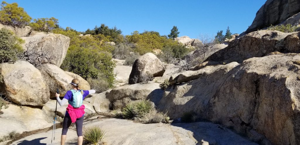
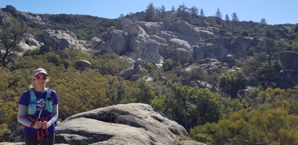
The landscape was much rockier than we anticipated with huge rocks just rising up near the trail amid green vegitation.

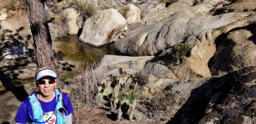
There were also small streams with small amounts of water left over from the recent storms and water damage on rocks and trees that made it looks like water could flow through here heavily at times.
There were small markers like this every couple of miles just letting you know that you were still on the PCT, but the trail was really easy to follow and in great condition.

We hiked in about 5 miles and then did a turn around. With all of the rocks in the area there was always something interesting to look at on the horizon.
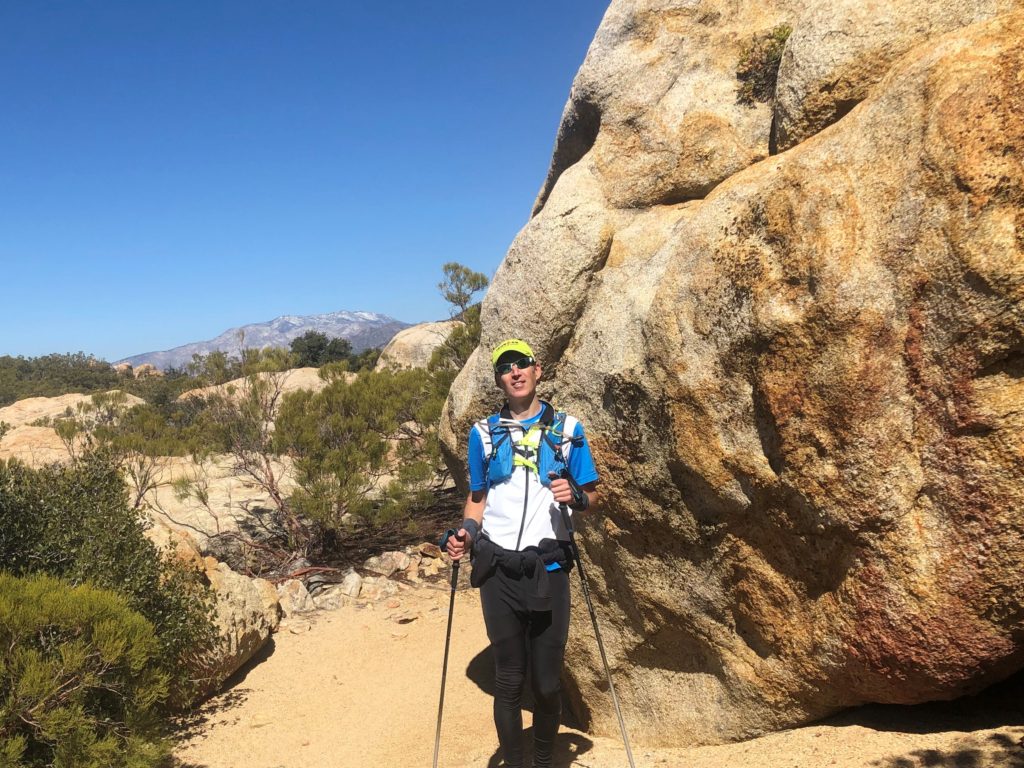
On the way in and out we could see these snow capped mountains in the background, even though the temps were in the mid 50’s to 60’s during our hike – really pleasant when we weren’t in the wind.
We had a great morning hiking and are eager to get back and scout out more of the PCT in the near future.

Leave a Reply